Mapping Wildlife Movement in QGIS
Time: 8:00 – 12:00 Wednesday, March 8, 2023
Location: Whitewater Room, Grand Junction Convention Center
Contact: Jessie Shapiro | jshapiro@utah.gov
This workshop introduces QGIS, an open-source GIS desktop software for viewing, editing, and managing spatial data. The workshop will cover basic tasks in QGIS for mapping wildlife movement data, including loading geospatial data, installing plugins, processing tools, and publishing a finished map. The session will also cover other open-source GIS options and resources. Participants must bring their own laptop with QGIS installed and have a basic understanding of GIS.
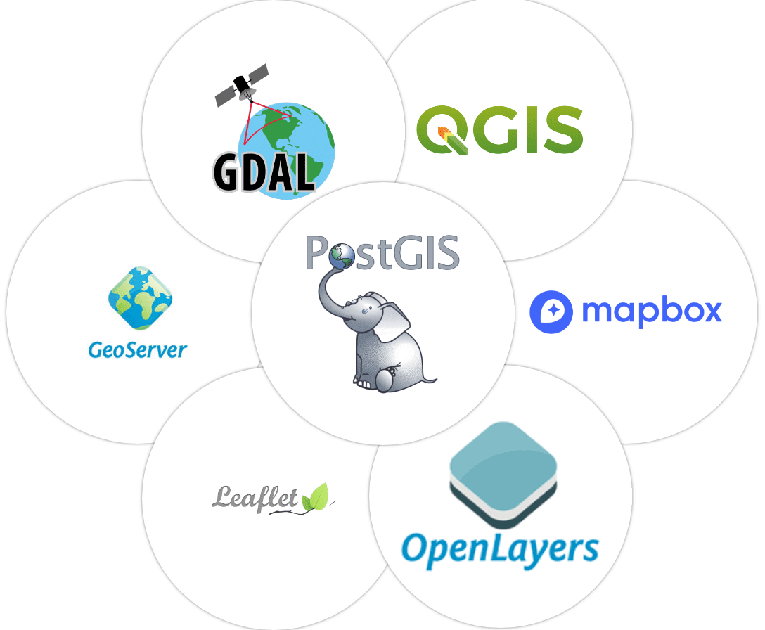
Open-Source GIS
Why learn open source?
Cost!
Consider the trade-off between cost, support needs, and time to master new tools
What's QGIS?
QGIS is a free and open-source software that runs on Mac, Windows, and Linux operating systemst. It used for viewing, editing, and managing spatial data in a wide variety of commonly used vector and raster formats. In order to complete the exercise part of this workshop, you will need to download the software and install it on your personal computer.
Outcomes:
Introduction to QGIS
Adding spatial data (vector and raster)
Plugins
Querying data and viewing attributes
Exploratory analysis of movement data
Creating maps
Other open-source options
Last updated